

Image © by SoundCloud 2014
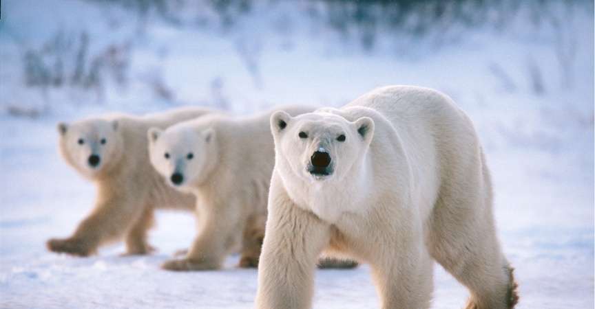
While polar bears are typically spotted in the small town of Churchill, Manitoba, researchers are now using a new technology that captures high-resolution satellite images of the arctic to count polar bears from space!
Counting polar bear populations is important for quantifying the effects of global climate change on the vulnerable species. More specifically, the research helps in understanding how polar bears are persisting through the loss of sea ice. Collecting accurate data is imperative as it guides the policy decisions of major industrial countries such as the United States.

Duplicate images are taken to distinguish rocks (circled in red) from polar bears (circled in yellow). Photo © Digital Globe 2014, via Polar Bears International
According to a Polar Bears International article, researchers have used helicopter surveys to count polar bears in the past, but this tactic has proven expensive and logistically difficult due to the vastness and remoteness of polar bear populations. In fact almost half of the existing polar bear populations have never been studied because they live in such desolate regions of the Arctic.
The new survey method has used Rowley Island, an extremely remote island in Nunavut, as a case study. The research team testing this new research technology consists of the U.S. Geological Survey, the Polar Geospatial Center, the University of Minnesota, and the Government of Nunavut.
The Rowley Island case study demonstrated large potential for this new technology to become a powerful research tool. The leader of the study Seth Stapleton says, “We think satellite technology has the potential to open vast, remote regions of the Arctic to regular monitoring. It has tremendous potential to aid the circumpolar management of polar bears.”
Want to experience wild polar bears in person? Go on an epic adventure with us on our Classic Polar Bear Adventure!
By Derek Ward, Natural Habitat Adventures Intern


